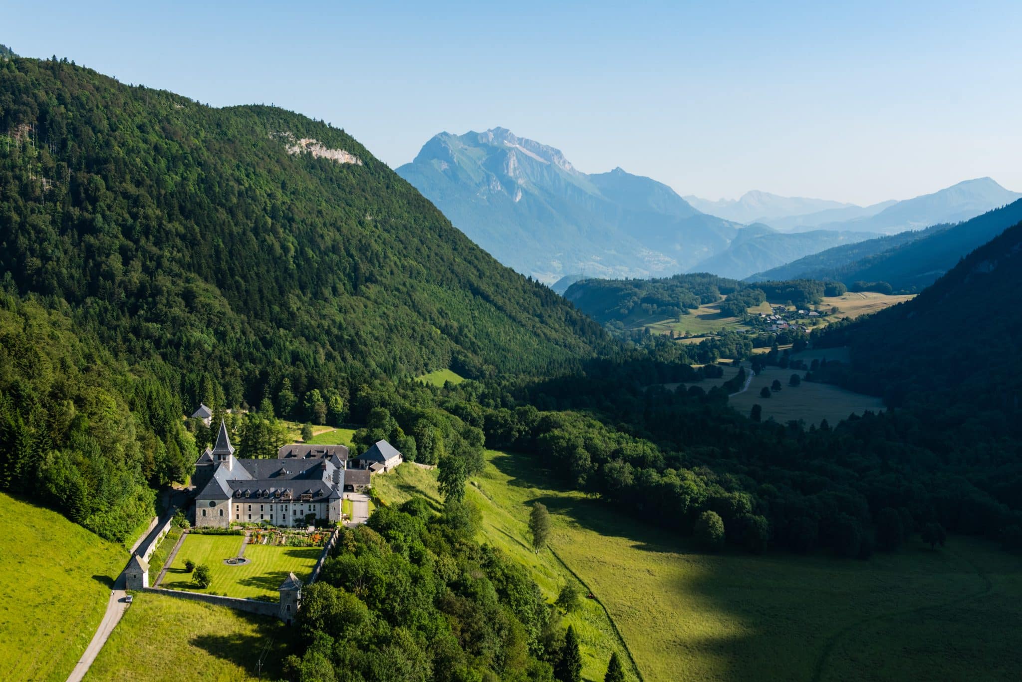
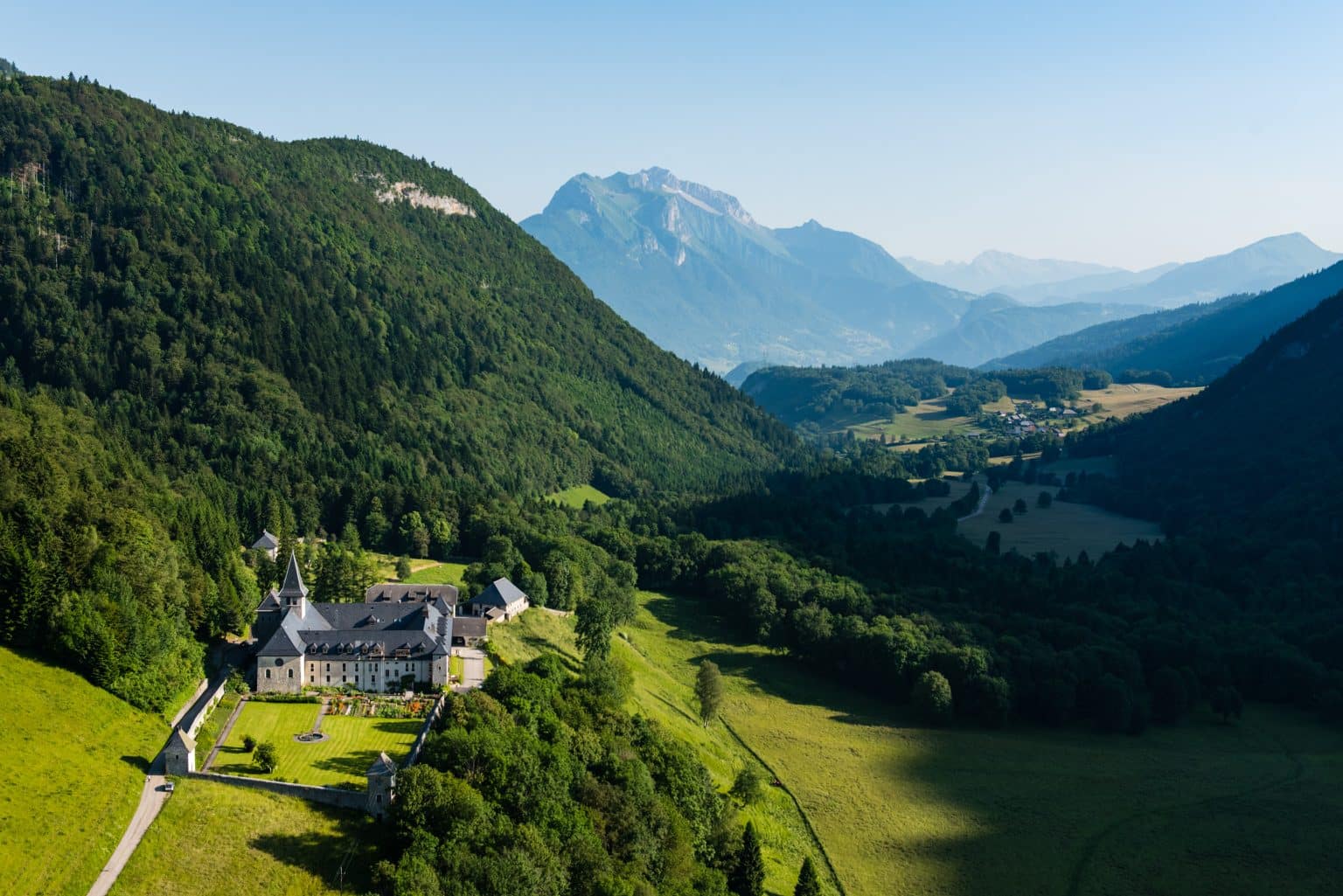
The peaceful Tamié valley is home to an abbey where Trappist monks produce a famous cheese. At the pass, the Fort de Tamié stands in a strategic position overlooking the Isère valley. On the descent, don't miss the Caves and Waterfalls at Seythenex.
Infos
Schedules
All year round.
Prices
Free access.
Steps
Faverges-Seythenex - Col de Tamié: from the tourist office, take the D12 towards Col de Tamié. At the exit of the hamlet of Frontenex, just after crossing the bridge, take the road towards "Val de Tamié". Follow the cycling signs “Circuit de Tamié” (n°48) until you reach the D12. Take the D12 on the left which will become D201c and continue to the Col de Tamié.
Col de Tamié-Seythenex: at the Col de Tamié, turn around and take the D201c towards Faverges. About 1km after the pass, turn left towards the Abbey for a return trip. Take the road towards Annecy, joining the D201c on the left. Shortly after the intersection with the outbound route, turn left onto the Route des Caillets, direction Gîte du Pas de l'Ours and join Seythenex.
Seythenex - Faverges: cross the town hall square then take the cave road. Continue until you reach the D12. Turn left and continue until Faverges-Seythenex.


