50 min approx.
(including photo breaks!)
100m ascent
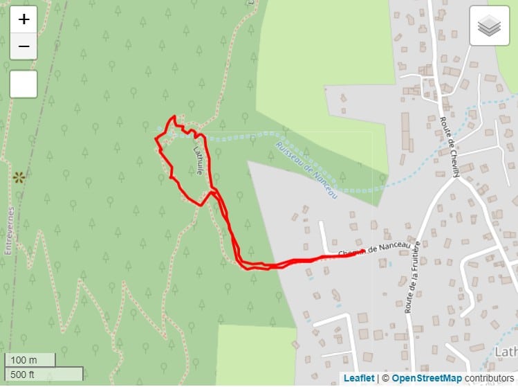
1.4 km distance (not one more)
Shady, cool trail
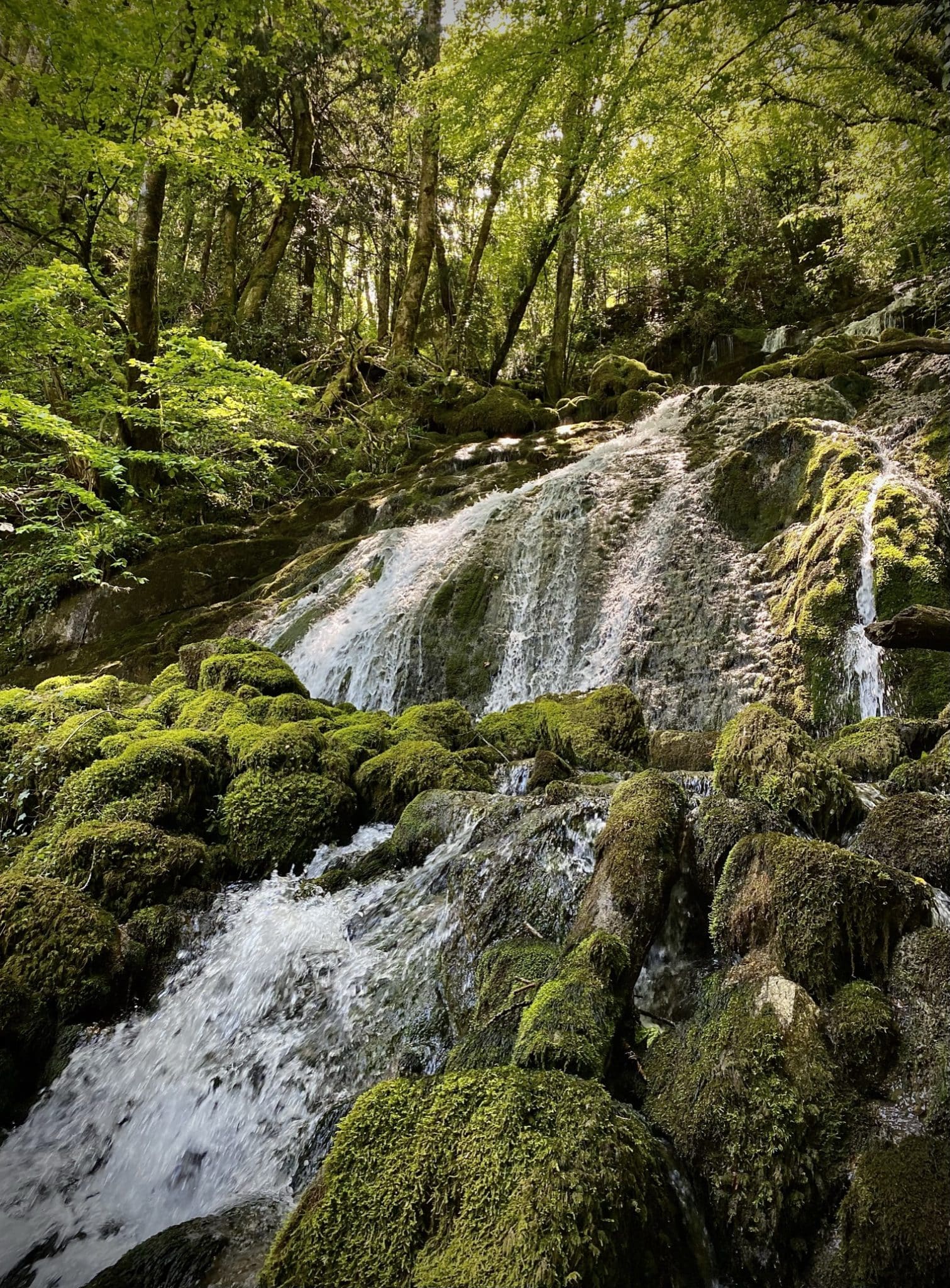
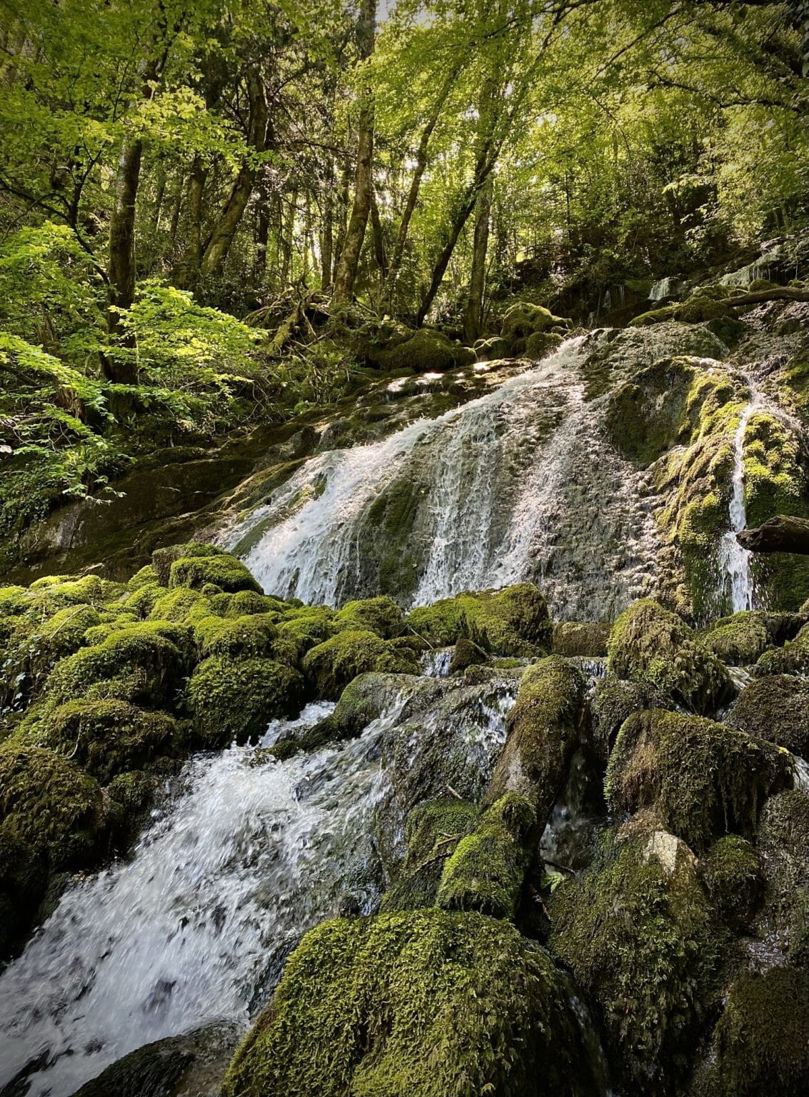
Visible all year round, but less important in dry periods
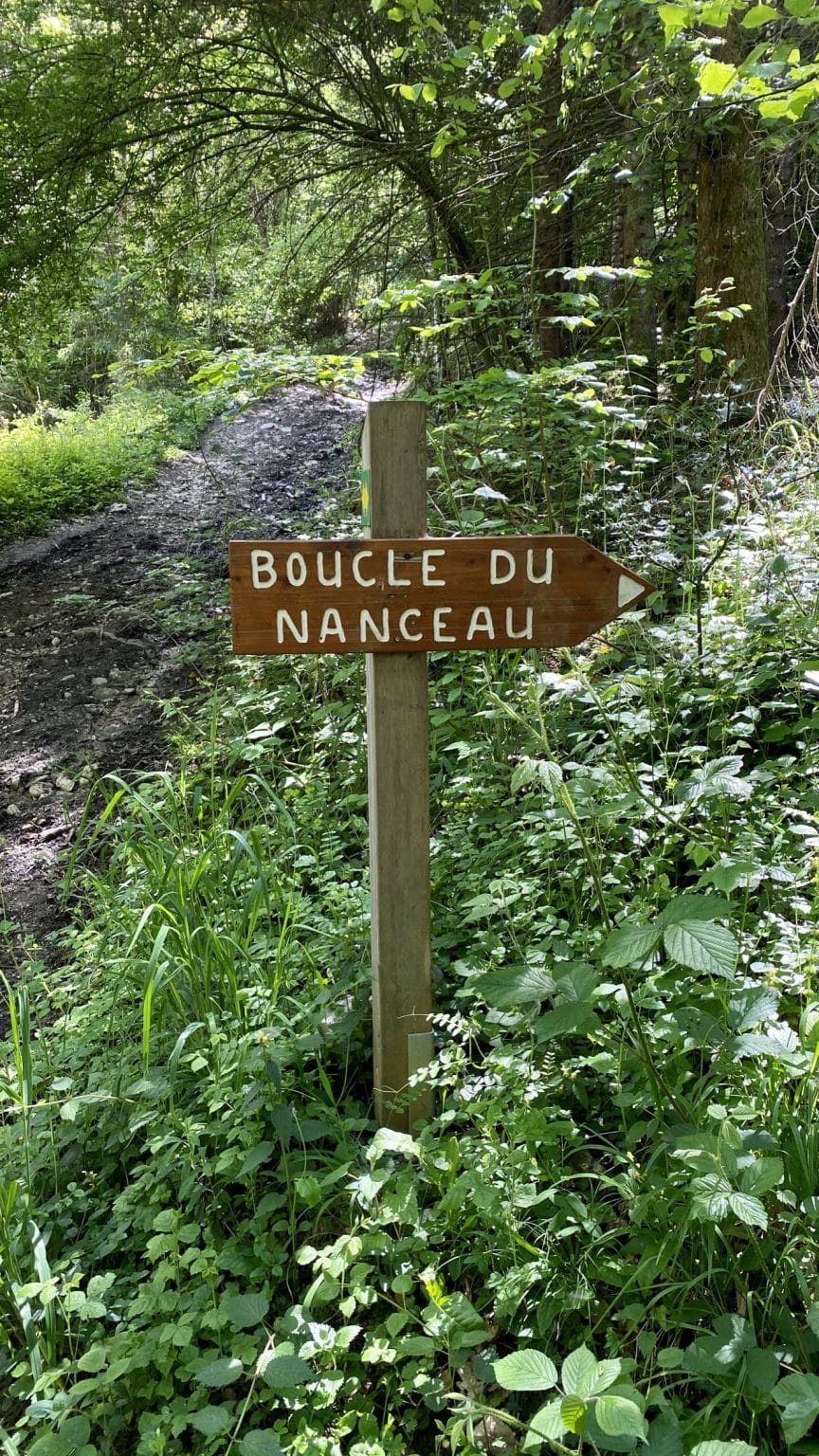
Head for "La Porte par Nanceau" (indicated on hiking signs). After the small wooden sign "Chemin de Nanceau", take the path to the right marked "Boucle du Nanceau". Continue along this route as far as the waterfall. Cross over the narrow wooden bridge. Then descend to the second bridge downstream. Cross over this bridge to the very first signpost and pick up the return trail. This loop can of course be done in either direction.
GPS coordinates 45.784528 6.200651
Option to continue on the signposted "Les Balcons de Lathuile" route (cf.Carte Rando).
Infos
Schedules
All year round. Subject to favorable weather.
Prices
Free access.
Languages
French


