From the Pont de Saint Ruph, high above the commune of Faverges-Seythenex, the route starts on a forest trail.
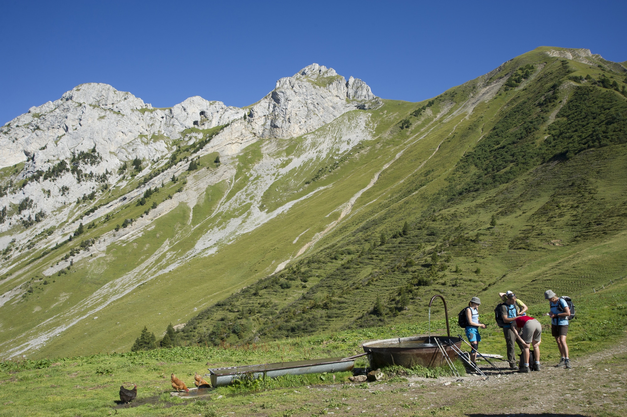
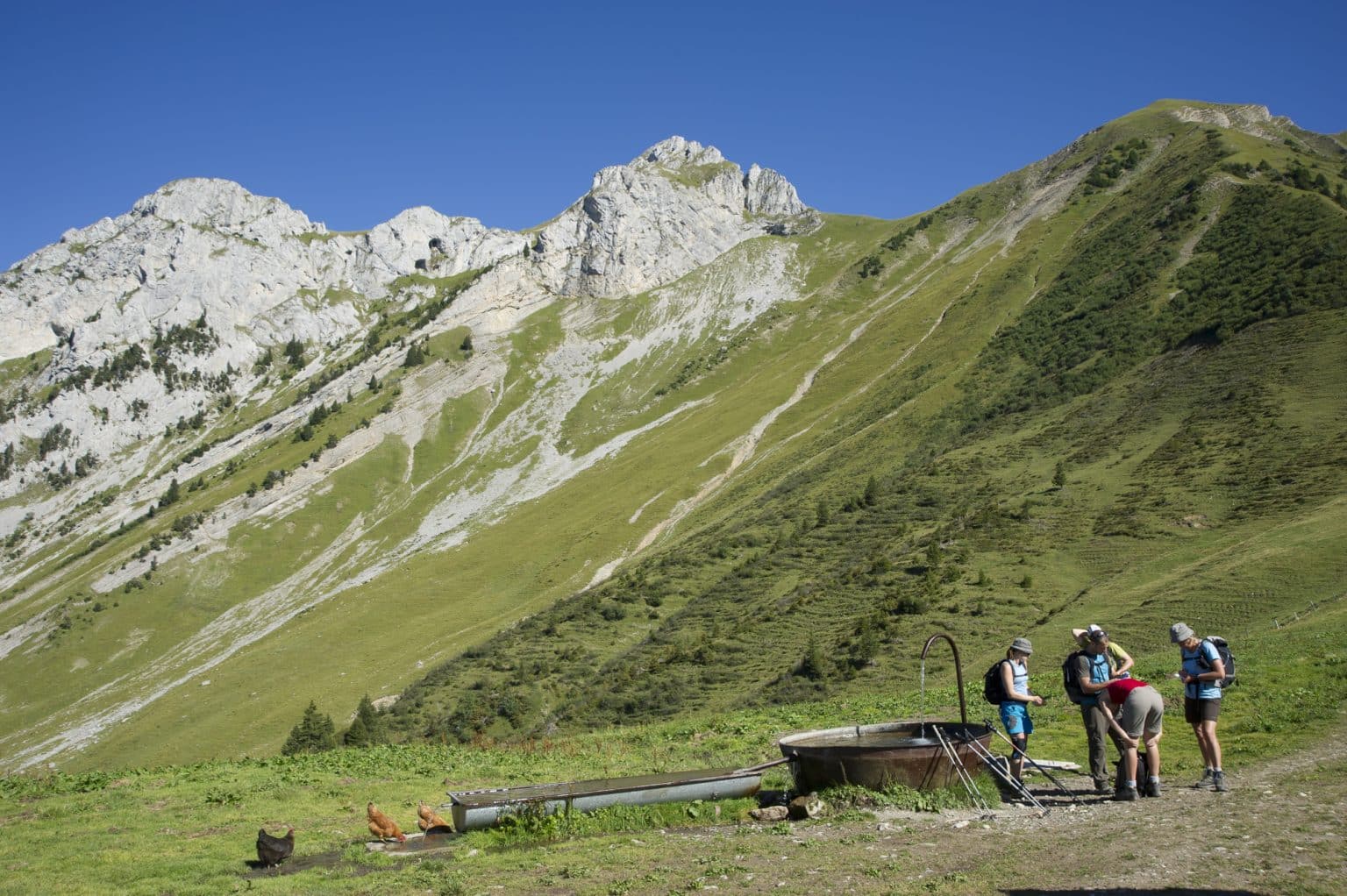
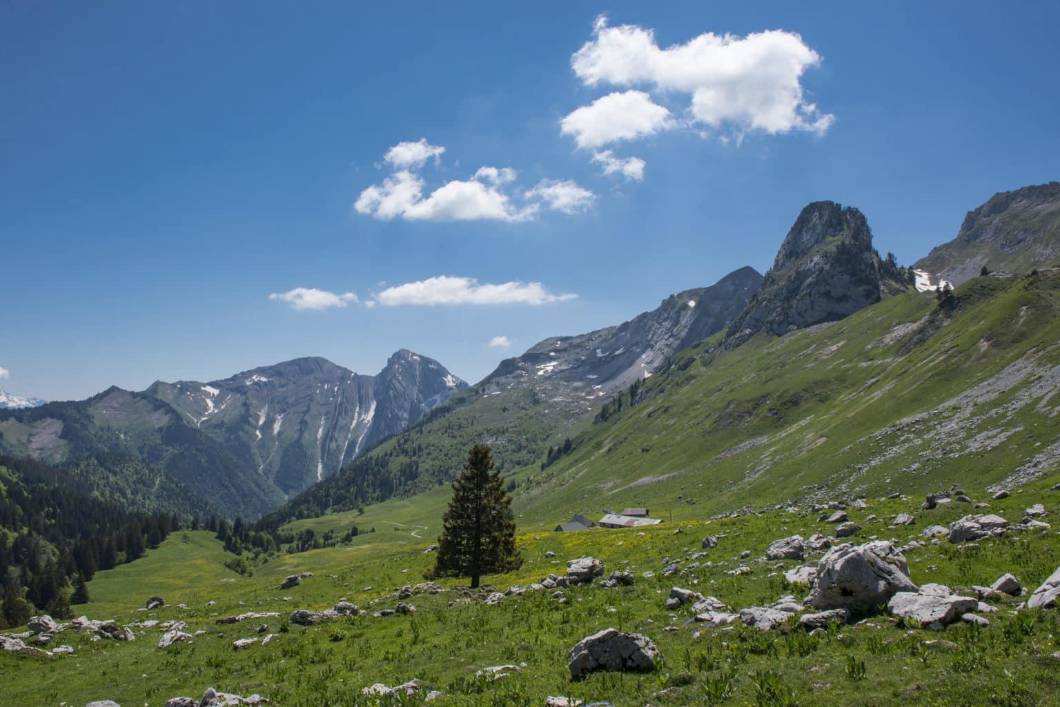
As you emerge from the undergrowth, you'll enjoy a magnificent view of the impressive cliffs on the eastern face of Arcalod. You may even catch a glimpse of chamois. The view opens out onto the surrounding peaks. Behind you, in the distance, La Tournette and Le Charvin. On your left, La Sambuy culminates.
At the Col d'Orgeval, the landscape opens up to all the peaks of the Hautes Bauges. To the right, Arcalod, to the left, Chaurionde. Below, the Orgeval chalets.
The loop continues over the balconies of La Sambuy. Along the way, you'll have a chance to explore the goat-herding pastures of Seythenex, before returning to your starting point.
Infos
Schedules
From 15/05 to 01/11. Subject to favorable snow and weather conditions.
Prices
Free access.
Animals accepted
Animals accepted
Dogs must be kept on a leash due to the presence of herds.
Steps
1/ From the parking lot, follow the signs for "Chalet d'Orgeval par Col d'Orgeval", passing "Passerelle des Rois", "Sous les Rois", "Maison Forestière de l'Abbaye", and "Bonverdan".
2/ Once you've reached "Col d'Orgeval", follow the signs for "Station de la Sambuy (parking) par chalet de l'Aulp de Seythenex" and then "Station de la Sambuy (parking)". You will pass the following signposts: "Sous Chaurionde", "Chalet de l'Aulp de Seythenex", "Les Biolles", and "Carrefour de Vargnoz".
3/ From "Parking de la Sambuy", continue towards "Pont de St Ruph" to reach the parking lot and your starting point.
Itinéraire
Col d’Orgeval via the Saint-Ruph valley
Download GPX File
To open the GPX file, use the Komoot app
Parking du Pont Saint Ruph
Faverges-Seythenex


