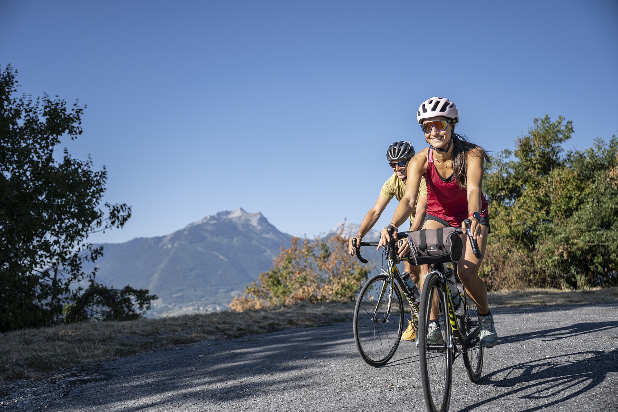
The "Col aux 40 lacets" over a distance of fifteen kilometres is a mlust for those in search of solitary challenges in the mountain.
Infos
Schedules
All year round.
Prices
Free access.
Steps
Faverges-Seythenex-Marlens-Les Rippes-Col de l’Arpettaz: take rue Carnot towards Albertville (N508). Join the cycle path on the right after 800 m. About 2 km after the hamlet of Moulin de Marlens, at a place called Sous les Rippes, leave the cycle path by turning left and cross the D1508, direction Col de l'Arpettaz. Follow this direction until
col.
Col de l’Arpettaz- Ugine- Faverges-Seythenex: from the pass continue the road and join the D109 passing through the hamlets of Hauteville and Bange. Turn right onto the D109 towards Ugine. Continue and cross Ugine to reach the roundabout on the D1508. Take it for 500 m, direction Albertville. Join the cycle path at the next roundabout, on the right. . Take the
cycle path direction Faverges and reach the starting point according to the outward route.
Itinéraire
Col de l’Arpettaz sportif – Itinéraire cylo
Download GPX File
To open the GPX file, use the Komoot app
Faverges-Seythenex


